Description
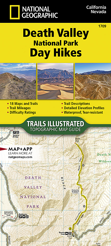
A format pioneered by NatGeo Maps, Topographic Map Guides are user-friendly and light-weight map booklets printed on rugged waterproof, tear-resistant paper. Laser-focused on the information needed for trail navigation, each two-page map spread includes a detailed topographic map centered on the trail. Below the map is a trail elevation profile showing the distance between important trail features and intersections keyed to locations on the map.
Together, the map and trail profile provide a step by step visual guide to navigating the trail. The concise front pages include a regional locator map and map legend, plus overview information about the region, descriptions of hikes, seasonality, regulations, and safety guidelines.
The Death Valley National Park Day Hikes Topographic Map Guide contains detailed maps for 18 of Death Valley’s finest day hikes, including well-known hikes and a few off-the-beaten-path trails. They range from easy strolls to strenuous climbs, selected to provide a sampling of all the park has to offer. Together, they cover almost 100 miles of adventures. One-third of the selected hikes are less than 6 miles long, two-thirds are less than 8 miles, and two hikes are over 10 miles long.


